

About
Expert Geophysics is a geophysical company specializing in airborne geophysical surveys worldwide with advanced electromagnetic systems with the combination or separate magnetic field measurements and gamma spectrometry. Expert Geophysics offers the latest innovation in airborne geophysical technologies.
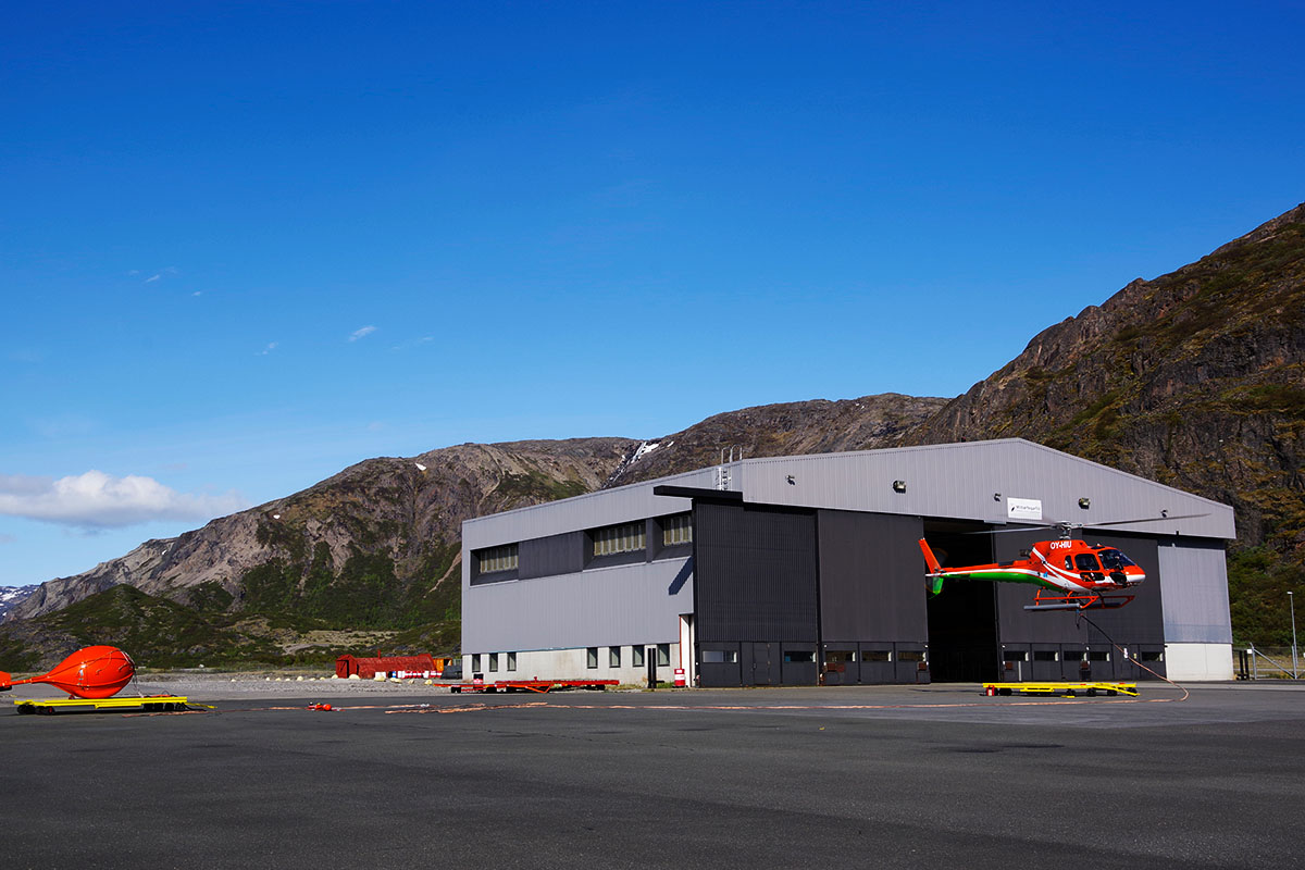
your airborne geophysics experts
What defines us as an organization?
PEOPLE. Our strength comes from a team built around decades of airborne geophysics experience, supported by specialists who bring fresh expertise from geoscience and engineering. We invest heavily in mentorship and training to maintain consistent quality in field operations, processing, and interpretation.
RIGOR. We apply disciplined QA/QC and repeatable workflows, with clear documentation of assumptions and limitations, so results are dependable and comparable across projects.
PARTNERSHIP. We work closely with clients to align survey design and deliverables with exploration decisions, turning measurements into interpretation-ready subsurface images for targeting.
ACCOUNTABILITY. We take end-to-end ownership, from planning and acquisition through processing and interpretation, so the final products are practical, geology-meaningful, and ready to use.
Teams that deliver
Expertise at every stage.
Technology & Engineering
Our team of technicians, programmers and engineers tirelessly develop and improve cutting-edge, specialized equipment, adhering to the highest industry standards to meet the demands of modern subsurface exploration. They also provide unwavering technical support in challenging field conditions.
Operations & Field Execution
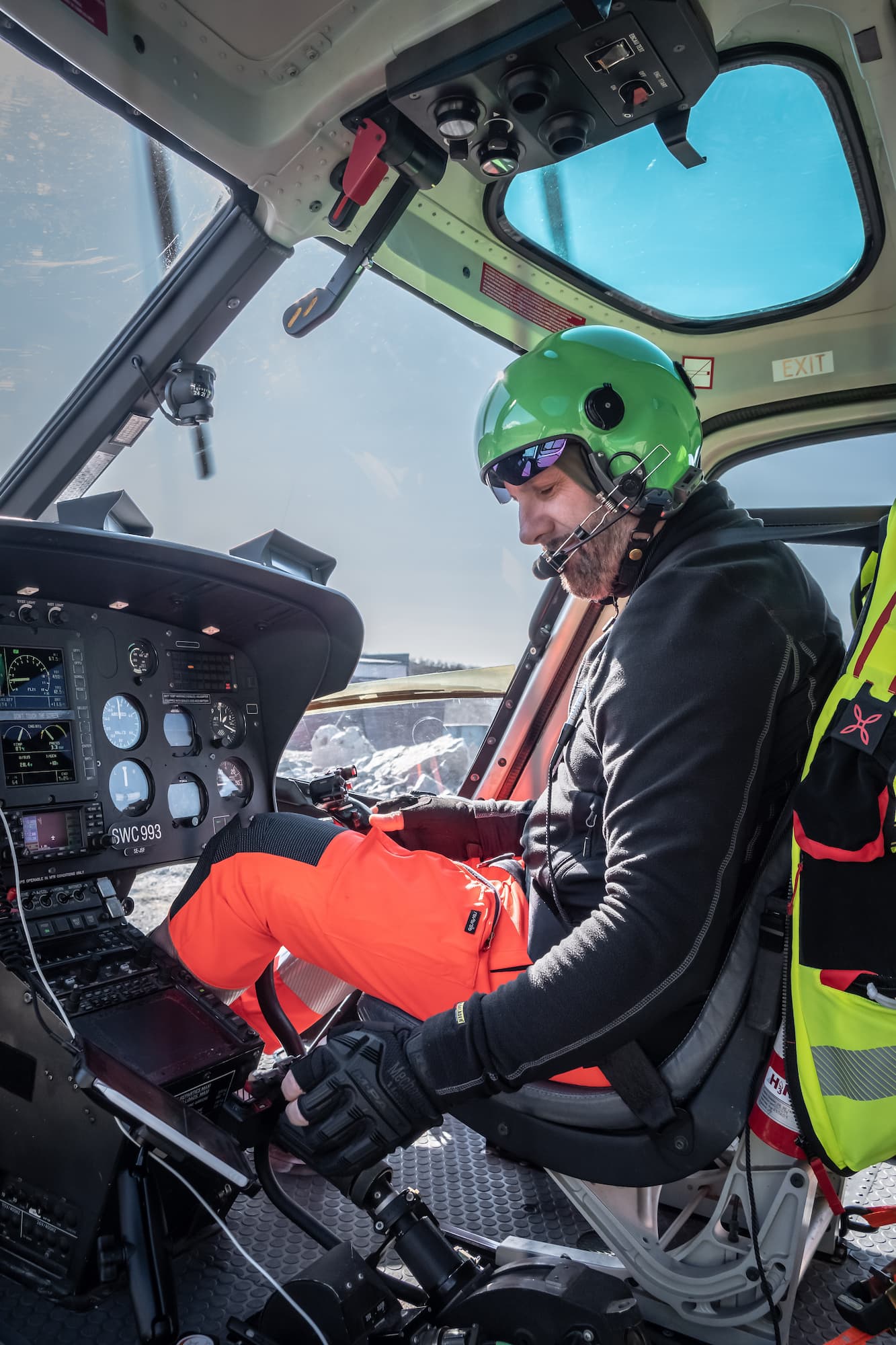
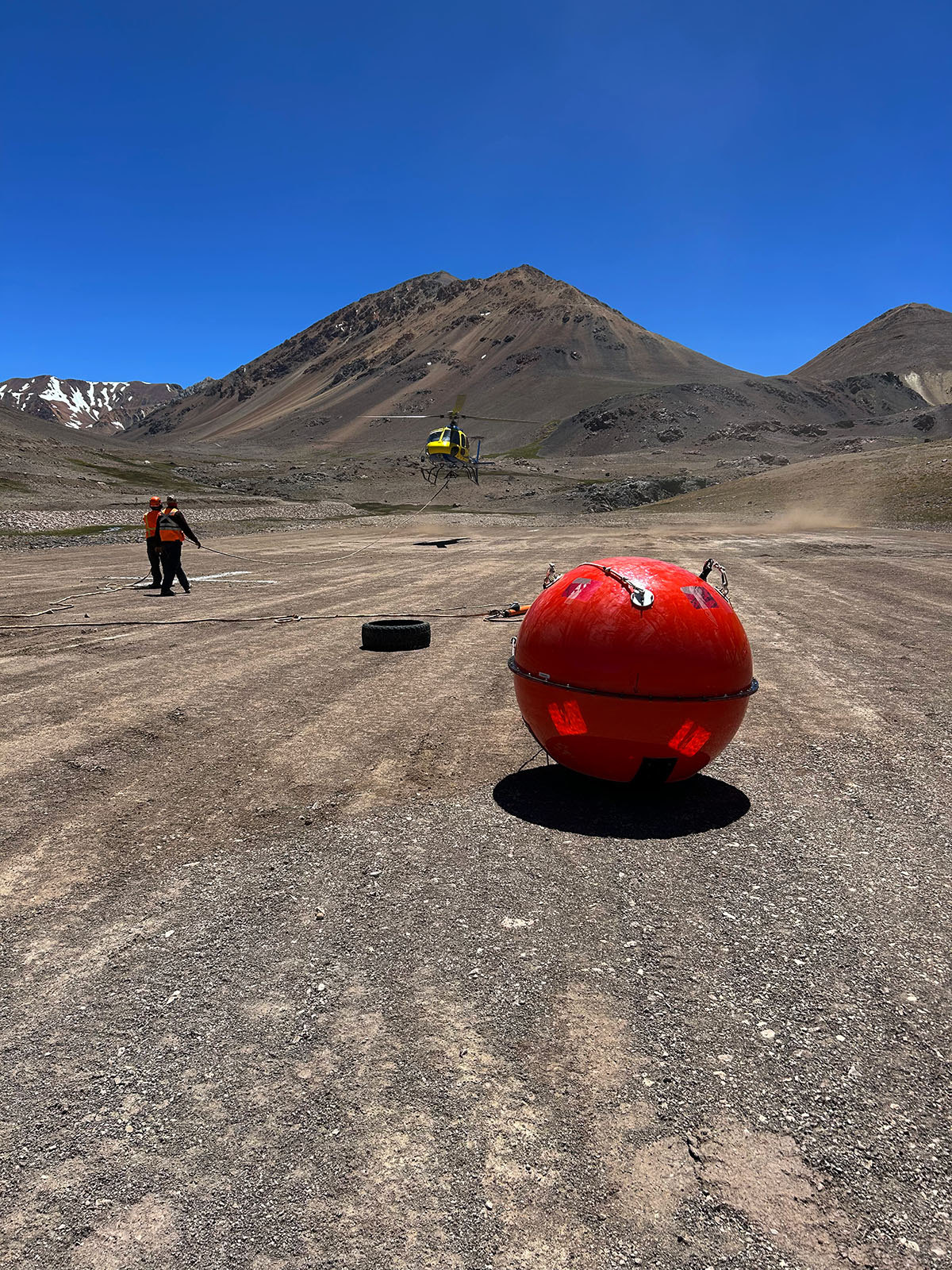
Our operational department team excels in organizing and coordinating fieldwork globally, ensuring safe and seamless execution. In the field, our dedicated crews conduct airborne surveys with precision, backed by the constant support of our offices and specialized departments.
Geophysics & Data Quality
Our geophysical department ensures round-the-clock strict data quality control throughout surveys and expertly processing and interpreting data acquired as the result of the entire workflow.
At the heart of our organization, it is our people who define us and drive us toward excellence in airborne geophysics and earth subsurface exploration.

our VISION
We go beyond ordinary mapping.
Our goal is to deliver high-quality data and interpretation products that support discovery. This goal drives our engineering, processing workflows, data analysis, and geological interpretation. We turn geophysical measurements into geology-meaningful subsurface images that improve targeting and decision- making. Every survey is designed to do more than map: to reveal the subsurface story that guides exploration. We measure success by our clients’ outcomes on their properties.
Our Qualification
Built on education and experience.
Individuals with specialized technical and geoscience educational backgrounds play a pivotal role in our company’s ongoing prosperity and success. Our team comprises 34 individuals with Bachelor’s degrees, 13 with Master’s degrees, and 6 holding PhDs, reflecting a rich reservoir of knowledge and expertise.
The diverse educational backgrounds within our workforce foster a fertile ground for cultivating innovative ideas, effective problem-solving skills, and forward-thinking solutions.
Our Education, Your Advantage
B.Sc. Graduates
The foundation of our solid solutions;
M.Sc. Holders
Deeper insights for better outcomes;
PhD Experts
Unique specialization at its finest with forward-thinking solutions.
Excellence Through Knowledge
Education drives our innovation and success.
Why Our Expertise Matters?
Our education empowers us to stay ahead of industry trends, adapt, and provide top-quality data, service and solutions. When you work with us, you’re not just getting a service; you’re getting a commitment to excellence.

Your Success, Our Commitment
We understand that our success depends on yours. That’s why we invest in our team’s continuous learning and training, ensuring we excel in today’s competitive business landscape.