Our Services
Delivering advanced airborne geophysics solutions from survey to interpretation.
Mobile MagnetoTellurics (MobileMT)
Deep-imaging airborne AFMAG system designed to map resistivity structures down to more than a kilometer.
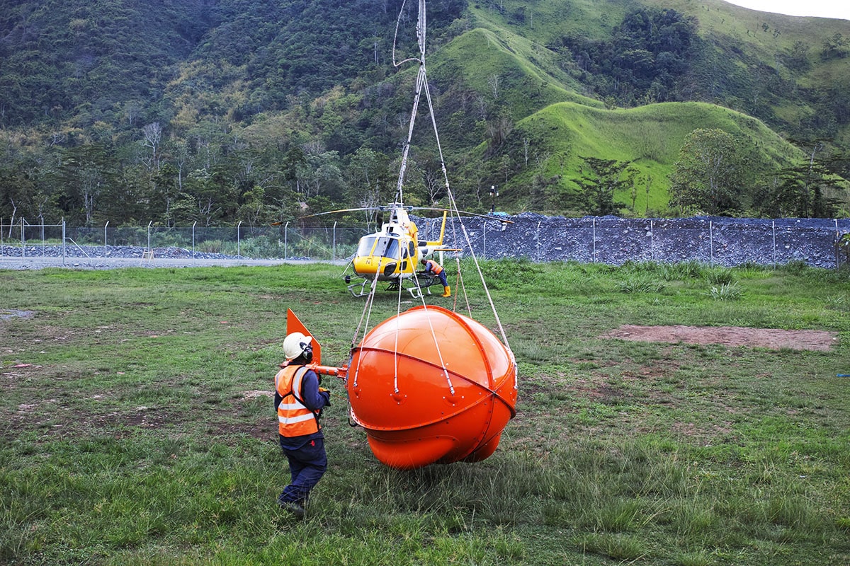
MobileMTm
A compact, high-resolution evolution of MobileMT optimized for detailed surveys, high-altitude operations, and integrated radiometric acquisition.

MobileMTd (Drone-Based MobileMT)
A drone-mounted MobileMT solution that provides flexible, efficient deep-sensing surveys in difficult terrain.

TargetEM
A time-domain EM system engineered to detect discrete conductors and stratigraphic contrasts at depth.

mTEM
A near-surface time-domain EM system delivering high-resolution mapping in areas with strong EM noise.
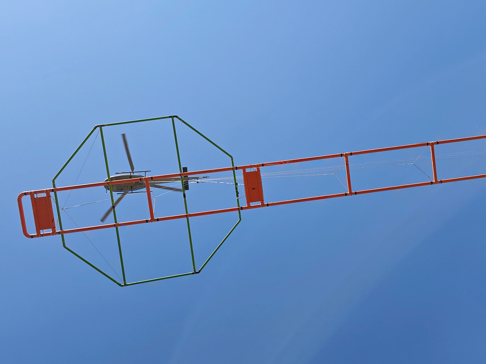
Airborne Magnetometer System
A cesium magnetometer platform for precise magnetic field measurements, standalone or paired with EM surveys.
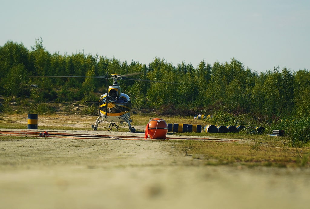
Gamma Spectrometry
A radiometric system using high-sensitivity spectrometers to measure natural gamma emissions and identify anomalies.

Data Processing & Interpretation
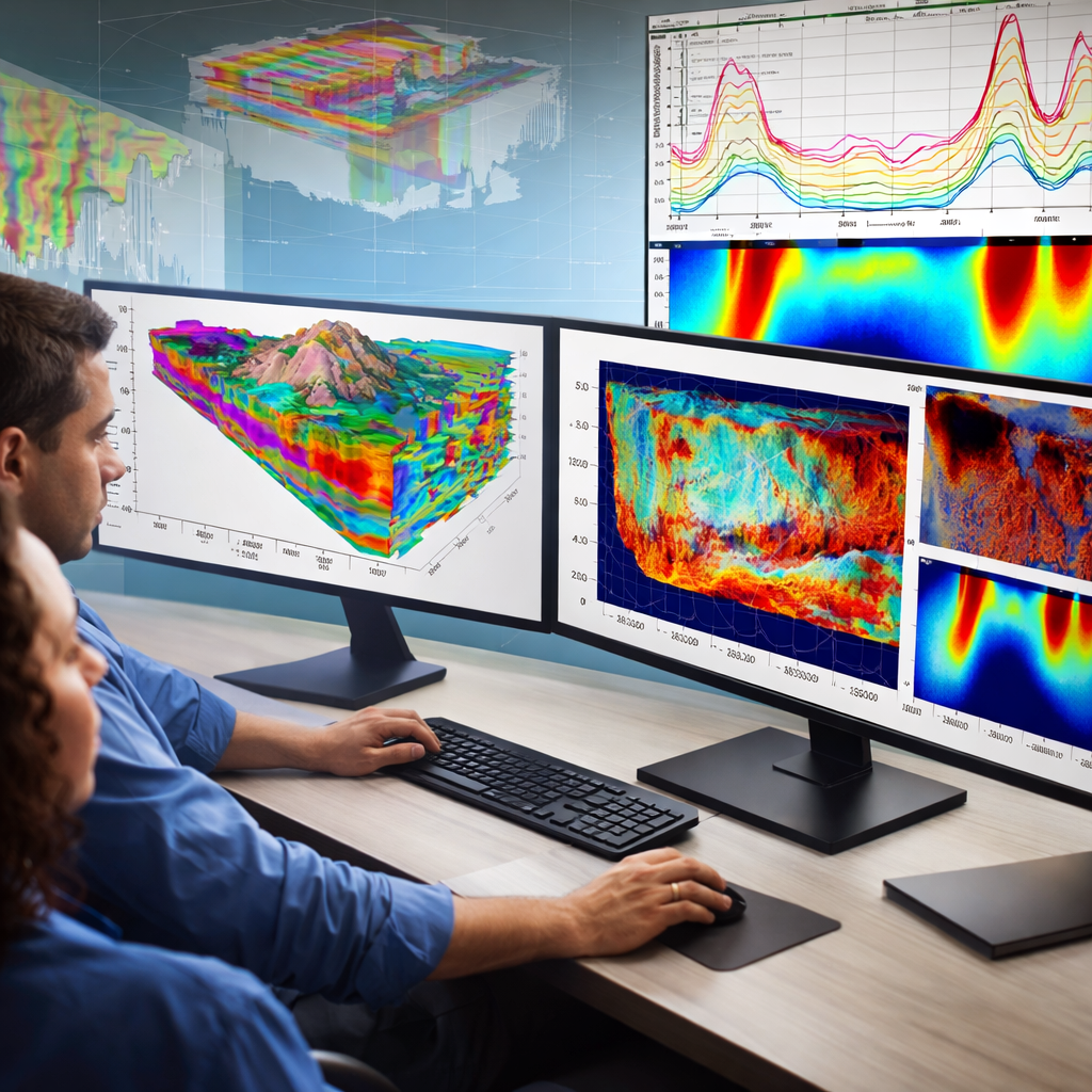
Comprehensive data modeling, imaging, and interpretation services that turn raw measurements into meaningful insights.