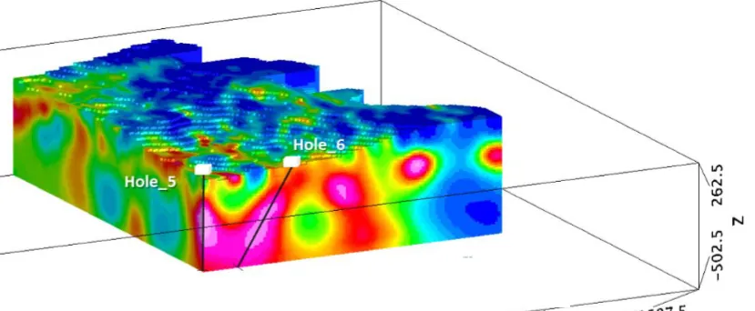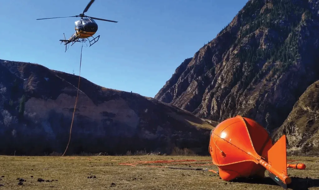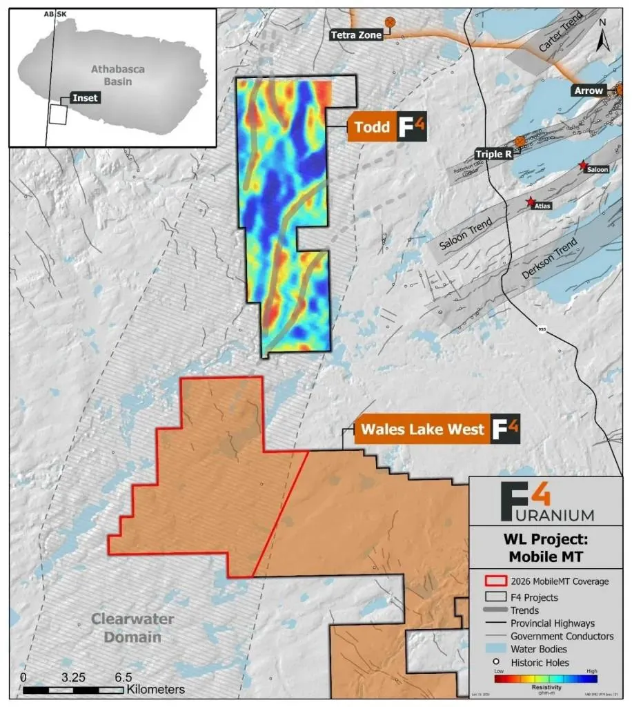
F4 Uranium has commenced a new MobileMT survey, flown by Expert Geophysics Surveys Inc., over its Wales Lake Project with the objective of tracing the Patterson Lake Corridor (PLC) and associated structural trends onto the property. This work builds directly on the successful 2025 MobileMT survey at the adjacent Todd Lake Project, where the survey identified extensions of the Patterson Lake Corridor and Carter Trends within the Clearwater Domain. Those results have become the foundation for F4’s current regional exploration strategy.
MobileMT is being used to map the regional conductive corridors and their structural architecture that control uranium mineralization. By tracing these basin-scale conductive trends beneath cover, the survey is expected to guide follow-up ground geophysics and prioritize future drill targets across the Wales Lake Project.
As exploration increasingly focuses on understanding complete mineral systems, the ability to map buried conductive corridors at the regional scale is becoming a key component of successful uranium discovery.